
GIS (Digital Mapping)
What Is GIS
Esri
UWGB
American Digital Cartography
Graef, Anhalt, Schloemer
Earth Tech
McMahon
Menominee Indian Tribe of WI
Geographic Information Systems (GIS)
Geographic Information Systems (GIS)
American Digital Cartography
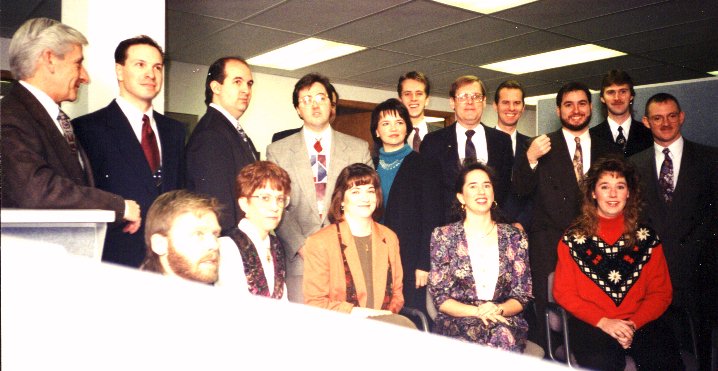
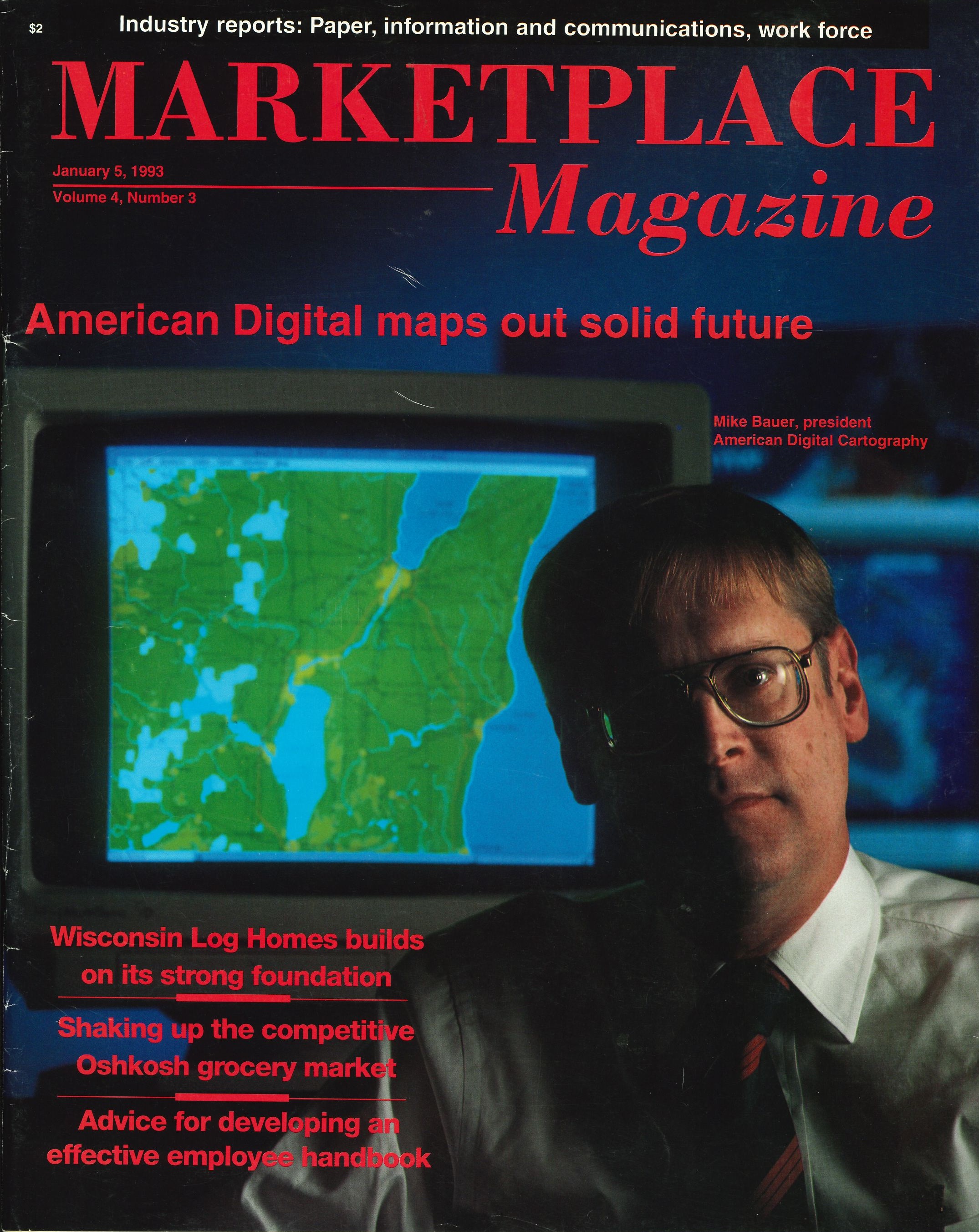
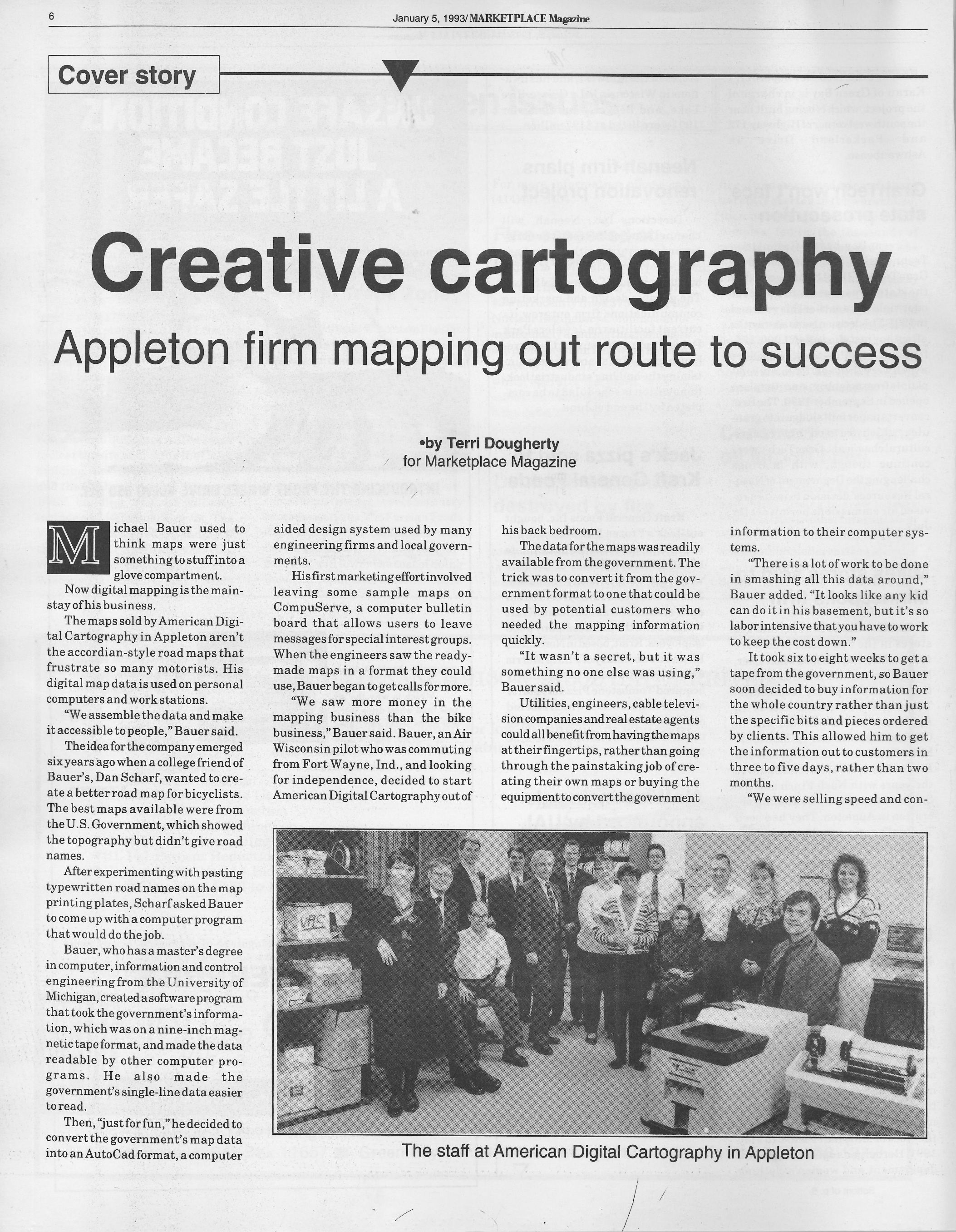
It didn't take long after losing my job at Geographic Systems Corporation that I landed my true first GIS job. I started January 4, 1992 at American Digital Cartography, located at 715 W Parkway Blvd in Appleton. It was a strange start as I shared a desk, chair and computer with Pat Liebmann, if he was in the office I didn't have any place to work. I started by creating marketing/demo materials showing ADC's products. The president/owner Michael Bauer (and his wife Yvonne Kokke Bauer) were excellent people and ran the company like a family. I worked under Doug Poland who was a very interesting and knowledgeable person.
ADC's main business was converting industry digital data (USGS DLG, US Census TIGER files, ETAK, Geographic Data Technology DynaMap and Geographic Names Information System (GNSS) into formats usable in popular Computer Aided Design (CAD) and Geographic Information System (GIS) software. Mike Bauer and James Northy wrote the software to do the conversion using FORTRAN. At the time, ADC really was the only one doing this conversion and had a lock on the industry.
 |
It wasn't long after I started that we outgrew the Parkway building and moved to the second floor of an office building at 3003 West College Avenue. At this location things really started picking up for me and my career. I soon moved into technical services and started using ARC/INFO to take the finished conversion data and make it usable in many other systems. In doing this I became knowledgeable of many GIS software platforms, using ArcView, MapInfo, GeoMedia, AutoCAD, MicroStation and of course ARC/INFO. At the time ARC/INFO was a command-lned based system, meaning every command you needed to perform had to be typed. Having to automate many of the processes, I learned Arc Macro Language (AML), which was relatively simple as you typed everything so I just had to replicate the command line into specific programs.
 |
| 
|
Clocks
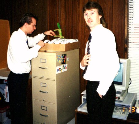
One unfortunate mistake resulted in me making a little side money. We created the data to be placed on ADC WorldMap CD's and somehow the Water feature datasets for Saudi Arabia got forgotten. As these CD's were unusable (we had to get new ones created), instead of tossing them, I figured a way to use them, make them into clocks. First we had the company run grooves across the back (to make them unreadable) and then I would purchase a stand and clock parts (which the company paid for) and then I would assemble them and be paid $1.00 for every clock I made They were than handed out as promotional give-aways for clients and at tradeshows. They were very popular and many people asked for them. |
|